
What Makes a Good Drone Weather App? (And Why Most Fall Short)
Red or green isn't enough. A look at what separates a genuinely useful drone weather app from one that just gives you a colour and hopes for the best.
There are many apps that help pilots assess conditions. A simple red or green indicator based on a wind threshold can omit important context, such as the aircraft, gusts, and conditions at flight height. A colour alone cannot establish that a flight is safe.
Not all drone weather apps are built the same way. Here's what actually separates a good one from the rest - and why the difference matters more than most pilots realise.
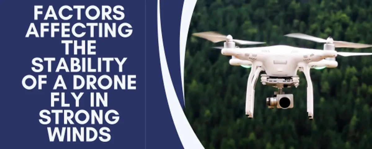
The red/green problem
The most basic approach to drone weather is a simple threshold: if wind speed is below X, it's green. Above X, it's red. You set the number, the app reads the weather, and it colours a dot.
Different aircraft have different published wind-resistance specifications. Refer to the manual for your own model, and remember that a manufacturer's specification is not a universal safe operating threshold. A generic indicator may not account for the aircraft you are flying or the conditions on site.
Useful planning takes the selected aircraft and its published rating into account, while leaving room for judgement about actual conditions, gusts, route, and experience.
Surface wind vs wind at altitude
Almost every basic weather app shows you surface wind speed. This is the wind at ground level - where the weather station is, and where you're standing. It is not where your drone is.
Wind can vary with height and local terrain, but the difference is not fixed or reliably inferred from a surface reading. Buildings, trees, and hills may shelter a takeoff point while exposed areas nearby experience different conditions.
Drone Companion's drone weather feature describes estimated wind speed, gusts, and direction at 30, 60, 90, and 120 metres. Winds aloft are estimates, not direct measurements of the conditions your aircraft will encounter.
Wind direction - the detail most apps skip
Wind speed alone doesn't tell you how a flight will go. Direction changes everything about how you plan a shoot.
A 15 km/h crosswind means you're fighting drift on every shot. A 15 km/h headwind on your return leg means a faster battery drain and a longer return time than you planned for. Flying into the wind at the start of a mission and returning with it behind you is basic flight planning - but you can only do it if you know which way the wind is coming from.
Most basic apps show speed. A good drone weather app shows direction too - so you can plan routes that work with the conditions rather than against them.
Why a 3-day forecast is the right window
Some weather apps will show you 7 or 10 days of forecast data. It looks comprehensive. In practice, atmospheric forecasting beyond 3–4 days degrades significantly in accuracy - particularly for localised wind conditions, which are the most important variable for drone flying.
Showing you a 7-day forecast for drone flying isn't giving you more information. It's giving you the same information with less certainty attached to it - and if you're making decisions based on it (booking a shoot, planning a location trip), you're building on a shaky foundation.
Forecast confidence varies by provider, location, and weather pattern, and can change as the flight date approaches. Use the forecast as planning context and check it again nearer the time; it is not a guarantee of conditions.
Rain: forecast vs radar
Do not assume a drone is waterproof or that a particular model is approved for rain. Consult its manual and warranty terms for the manufacturer's guidance on moisture exposure. For example, do not treat the DJI Air 3S as rain- or water-resistant unless DJI's manual explicitly permits the specific exposure; follow the manual and assess actual conditions. Wet conditions can put the aircraft and equipment at risk.
A percentage chance of rain tells you very little. 40% chance of rain could mean a brief five-minute shower at 2pm, or it could mean steady drizzle from noon. It doesn't tell you when, how heavy, or how long.
A precipitation radar can add context by showing observed precipitation and its movement, but it does not guarantee what will happen at your location or when. Drone Companion's drone weather feature includes precipitation radar; check local conditions as well as forecasts.
Cross-validated data - because one source isn't enough
No single weather data source is perfectly accurate for every location. Localised conditions - coastal areas, valleys, urban heat islands, elevated terrain - can produce readings that a single weather station network misses or misrepresents.
A more reliable approach is to cross-validate: take data from multiple sources and flag where they disagree significantly. If two independent weather sources both say wind is 12 km/h, you can be reasonably confident. If one says 8 km/h and another says 22 km/h, something unusual is going on - and it's worth pausing before you fly.
Drone Companion uses WeatherAPI.com as its primary source and OpenWeather readings as a cross-check for wind and gusts, with fallback data available when needed. Provider readings can differ or be unavailable, and comparing sources does not guarantee an accurate local forecast.
The GPS reliability factor
One thing almost no basic drone weather app covers: geomagnetic conditions. The KP index measures solar wind activity and geomagnetic disturbance - and elevated KP levels can cause GPS signal degradation that affects how reliably a drone holds its position.
For most recreational flying this is a minor concern. For professional work where precision positioning matters - filming near structures, survey work, long autonomous routes - it's worth knowing. If the KP index is elevated on a shoot day, expect GPS to be slightly less precise than normal and factor that into your planning.
What a proper go/no-go recommendation looks like
The difference between a red/green app and a genuinely useful drone weather tool comes down to one question: is this recommendation built around your specific drone, your specific location, and actual conditions at the altitude you're flying - or is it a generalised colour based on a number you typed in?
Drone Companion's flying-conditions assessment considers the selected aircraft's wind rating alongside forecast conditions. It is a planning aid, not a complete assessment of aircraft limits or local hazards, and it cannot guarantee a safe flight.
Estimated winds aloft, wind direction, precipitation radar, and readings from weather providers can add useful context, but data may be incomplete or differ from on-site conditions. Use these tools alongside your own observations and the aircraft manual.